WELCOME

WELCOME
Welcome to our blogspot

Monday, August 15, 2011

Travelling the Millaa Millaa Waterfall Way

Thursday 11th August 2011: After enjoying the evening with my cousin Kathy and her partner Peter we left Ravenshoe and drove to Atherton visiting Souita Falls then to Millaa Millaa and drove the scenic tour along the Millaa Millaa Waterfall Way to Malanda and to Atherton to catch up with my cousin Merv and his wife Sue. We once again plugged the motorhome into the power and enjoyed 5 days of great hospitality and friendship with cousin Merv and Sue and their son Stephen.

Souita Falls
The quaint town of Millaa Millaa

'The Reluctant Cow'

This centrepiece in the town of Millaa Millaa was erected to create a point of interest and to enhance the main street.

---------------------------------------------------------------------------------------------
The following falls are the along the Millaa Millaa Waterfasll Way from Millaa Millaa to Malanda..............


Millaa Millaa Falls

Zillie Falls

Ellinjaa Falls

Malanda Falls

Saturday, August 13, 2011

Ravenshoe - pronounced Ravens-hoe

Tuesday 9th August 2011: After leaving Mount Surprise we travelled to Ravenshoe, (Queensland's Highest Town), visiting Millstream Falls along the way. Situated on top of the Great Dividing Range Raenshoe is the gateway to the east with the Atherton Tablelands Rainforests and the Coastal Great Barrier Reef, while to the west we have the dry, open forested Gulf Savannah. It has an Historical Railway Station and Steam Train.
Wind Farm Windy Hill is Ravenshoe very own wind farm which was commissioned in the year 2000. Twenty Turbines stand tall on the rolling green hills just to the east of the town. Here we enjoyed a visit to my cousin Kathy and her partner Peter's home at Windy Hill and plugged our motorhome into power for the night. The four of us patronised the local Hotel Tully Falls Pub (Queensland Highest pub) for dinner.

Millstream Falls
Ravenshoe Wind Farm on Windy Hill

Ravenshoe Historic Railway Station

Ravenshoe Historic Steam Train

Queensland's Highest Pub


The beautiful green rolling hills around Ravenshoe - a vast contrast to the Savannah country we have travelled!

Georgetown and Mount Surprise

Saturday 6th August 2011: Travelling east from The Cumberland Chimney and Dam site to Georgetown we stopped for lunch and booked a guided tour, which leaves from Mount Surprise on Monday 8th August 2011, of the Undara Lava Tubes which are in the Undara Volcanic National Park 54 klms west of Mount Surprise. Leaving Georgetown we said goodbye to a lovely couple, Narelle and Bruce, who are also travelling Australia. We met Narelle and Bruce at Camooweal and then again at Clem Walton Park and have travelled with them from Clem Walton Park up to Normanton , Karumba and across to Georgetown. Onto Mount Surprise which is set on the banks of the Elizabeth Creek we spent a few days resting and had an interesting and informative day out at the Undara Lava Tubes. 190,000 years ago Mother Nature set to work creating one of the rarest and most fascinating volcanic phenomena on Earth.......the Undara Lava Tubes........one of the Earth's longest lava flows from a single volcano.

Looking down into the crater of Kalkani Volcano, which is a scoria cone. It erupted before Undara Volcano some time between 190,000 and 400,000 years ago.

On the track around the Kalkani Crater

----------------------------------------------------------------------------------------------
Inside the Undara Lava Tubes............the many colours of the solidified lava. We toured 8 Lava Tubes each one different. They varied in length from 25 metres to 682 meters. The longest 'Barkers Lava Tube' is the furthest away from the erupted volcano and you can only travel a short distance from the tube entrance depending on the amount of oxygen inside this lava tube. The entrance is from a hole on top of the ground and decends steeply into the tube and the wind flows across the entrance rather than flowing into the entrance where as the other tunnels the entrance is from the side and air is able to flow into the tube easily.


Walking through by torchlight


Elizabeth Creek - Mount Surprise

Sunday, August 7, 2011

Black Bull Siding, Croydon and Cumberland Chimney and Dam

Friday 5th August 2011: Travelling from Normanton along The Gulf Development Road (Savannah Way) we stopped for a short break and morning tea at the Black Bull Siding - a rest stop for the RM93 Gulflander Tourist Train when travelling to Croydon, then travelled further onto Croydon.

Croyden is the rail depot and destination for the RM93 Gulflander train. It has an interesting Visitors Centre and Museum and a Heritage Precinct. A quaint town with an interesting history dating back to the discovery of gold in 1885.


We had all stopped for morning tea


Chris feeling the water at Lake Belmore - the lake was built for the town water supply in 1995


Part of Croydon's historic precinct - inside the court house


Diehm's Lookout over the small township of Croydon


Datum Post Tree


The dead Cooktown Ironwood tree was used as a reference for the original survey of the town of Croydon


-----------------------------------------------------------------------------------------
Following are the historic buildings in the Heritage Precinct:


The original tabletop school house


Police Seargents Residence c.1897


Croydon Court House c.1887


Town Hall c.1890


-----------------------------------------------------------------------------------------------


The Cumberland Chimney built by Cornish Masons.


It is all that remains of a crushing plant that crushed gold bearing ore from surrounding mines.


Waterlillies and birdlife on the lagoon that sits beside the Historical Cumberland Chimney

Normanton to Karumba

Wednesday 3rd August 2011:
NORMANTON - From our overnight stop at the Bang Bang Rest area we arrived in Normanton Qld. This town was established in 1868 as a port for the Gulf's cattle industry and later grew with the discovery of gold. Burns Philp & Co Ltd started its origin in Normanton, today the building is used for the Tourist Information Centre and Library. The Normanton to Croydon railway line was opened in 1891. Today the historic railway station is an architectural marvel that was once the focal point of town. Today they run the train 'The Gulflander' as a tourist attraction with rail trips from Normanton to Croydon and shorter trips to Critters Camp.
Thursday 4th August 2011:
KARUMBA - A small port town 70 klms north west of Normanton on the south eastern side of the Gulf of Carpentaria. During winter the population of this small town swells with fishing enthusiasts throwing in a line to catch the plentiful Barramundi. We enjoyed a stroll around this small town along the river and out to the Karumba Point Beach where you view the waters of the Gulf of Carpentaria. We enjoyed lunch at the Raptis Seafood Market and Cafe looking out over the river.


The restored Normanton Railway which has an interesting museum
Normanton Railway in 1891


Station gardens - just beautiful


In the station museum - recognise any of these items?


Normanton Railway station on the track side


'The Gulflander' Tourist Train and the Motor Rail


Burns Philp & Co. Ltd - today the Visitor Centre and Library


Normanton was the town referred to in the novel "A Town Like Alice"


The Purple Pub mentioned in the info board above


Town Well

the original source from which the locals drew their water before reticulated water was installed in 1965.

Next to the well stands the original light pole


Norman River from the wharf precinct


Fisherman along the Karumba Point Beach over looking the Gulf of Carpentaria


Raptis Seafood Market and cafe where we enjoyed a seafood lunch looking out over the river


Black red under wing Cockatoo


Pussy cat pussy cat where have you been!!!!!!!!

Saturday, August 6, 2011

Daly Waters to Normanton

Wednesday 20th July 2011: From Daly Waters we turned east and travelled along the Carpentaria H'way for a few days. Stopped at the Heartbreak Hotel in Cape Crawford (this being the only thing there) and thoroughly enjoyed a scenic helicopter flight over 'The Lost City'. The flight takes you over the Caranbirini Conservation Reserve and Abner Ranges. Caranbirini is a remarkable reserve,protecting a large number of inhabitants within its small area. It features different sandstone habitats, such as 'The Lost City' formations and less dramatic hills and ridges. It also includes examples of woodlands, wetlands and riverine areas.

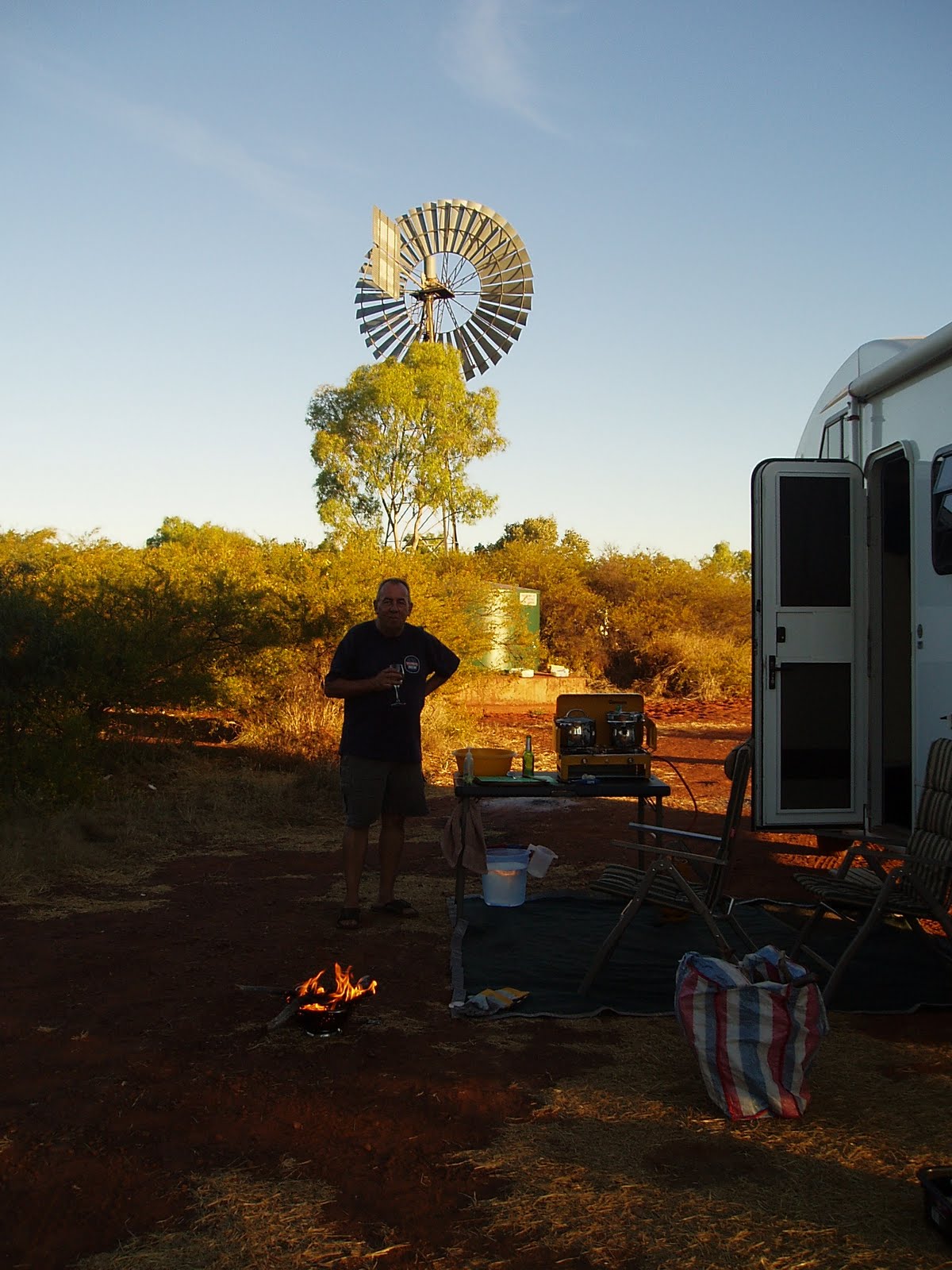
Travelling further east to Borroloola - a small aboriginal township and then out to Bing Bong (an accessible place to view the western side of The Gulf of Carpentaria in the Northern Territory). The road to Bing Bong is good bitumen road out to the port of Bing Bong to facilitate the McArthur Mine where there is the McArthur Mine Loading facility.We walked along the sandy bay (No swimming - salt water crocodiles inhabit this area). As this was the end of the road we travelled back to Cape Crawford then turned south travelling along the tablelands H'way for a couple of days to the Barkly Homestead. One of our campsites along the Tablelands H'way was at Brunette Downs where we experienced, around 7.30am in the morning, the mustering of cattle by low flying aeroplane over our motorhome. The campsites/rest areas along a lot of the H'ways in the NT and Qld are on large cattle properties as the H'way passes through the properties.
After a hearty lunch at Barkly Homestead we headed across the NT/Qld border back to Camooweal where we stayed for 3 days resting on the bank of the Georgina River and once again enjoyed the magnificent birdlife. We got our bikes down from the motorhome and rode into the tiny Camooweal town and visited the Drovers Shed - an interesting exhibition of droving in times past and present. The Camooweal pub offered a delicious counter meal.
Finally we travelled back to Clem Walton Park and stayed a further four days by the Corelle River - another magic spot.
Then back to Cloncurry, then turned north travelling along the Burke Developmental Road (aka Matilda H'way to Normanton). One of our overnight stays was at Bang Bang.............now we have been to Bing Bong and Bang Bang !!!!!!!!!!!!!


Parts of the road to Cape Crawford - red and dusty - with lots of birdlife enjoying the wet low lying areas.


The birdlife on the wet low lying areas


A loose bull strolling down the road towards us


The McArthur River taken from the helicopter on our way out over 'The Lost City'


The impressive sandstone spires of 'The Lost City' formation


'The Lost City' from the ground


Aerial view of Cape Crawford -


on the red dirt on the corner of the road our motorhome and on the opposite corner The Heartbreak Hotel........ yes that's Cape Crawford!


Aerial view of our motorhome


The helicopter and guess who!


Chris filling the motorhome with water at the Borroloola airport.


Bing Bong - Gulf of Carpentaria - in the background the McArthur Mine Loading facility


Strolling along the shore in Bing Bong


At The Heartbreak Hotel - Cape Crawford


Chris cooking a delicious evening meal


It was delicious.


Sometimes the road is long and the scenery........well!


Brunette Downs - early morning cattle muster - by plane


The plane came over very low


You get the long road then out of nowhere an oasis in the middle


The peaceful Georgina River in Camooweal


Well, well, well..........


The Drovers Shed at Camooweal.


I cycled to the shed from our campsite - explains the fluo cycling shirt and riding pants.


Inside the Drovers Shed


Cycling around Camooweal


Clem Walton Park - camped alongside the Corelle River


Clem Walton Park - Chris cooking in his camp oven a lamb roast dinner.........very yummy.


Reflections in the water at Clem Walton Park


The colours of morning at Clem Walton Park